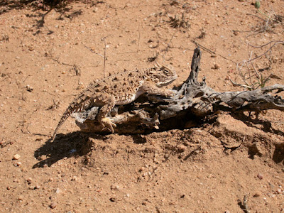
April 15th I headed to the U.S./Mexico border to begin my summer of hiking. I began a long the Continental Divide Trail, heading north. To be clear I'm not officially thru hiking the trail from end to end, but using it as a source of inspiration for a summer of hiking.
I posted on a web forum my plans for hiking and heard back from a guy, Greg, looking for a ride to the border. My Dad had already agreed to take me, so it was easy to take another. Little did we know how much we'd have in common. We'll be hiking together for awhile.


We took pictures at the border and got a helicopter fly over from Border Patrol and then headed off into the desert. We followed roads and stopped by the first water source which looked a little green. Thankfully there was water in the cache box a mile away.


Spring was beginning in those parts of the world and different cactus were almost blooming.


The trail follows old roads across the mountains, and occasionally goes cross country with a sign every 1/4 mile or so. Without an established track, the walking is tough and occasionally you miss a sign and end up off course. Out of the first 8 days, there was only 1 we didn't need our GPS to find the trail, and that was the last day all on well developed roads. It's true no two people hike the same CDT, we all get lost in different places.


It was also hot out. A little warmer then I was expecting. Every afternoon we took a siesta in what shade we could find, often the shadow of an information board. One of these stops was near a road with a car every 15 minutes. We had one Border Patrol person stop to chat who knew what we were up to. Then an hour later another BP truck pulls up more aggressively asking our country of origin and to see our IDs. Apparently a rancher driving by saw us and thought we were illegals that had given up.


After 5 days we reached Lordsburg and I-10. We stayed in a motel and cleaned up. The next morning we were on the road out of town over another mountain range. I led us up the wrong draw, but we managed to connect it into the trail without backtracking.


It wasn't till our seventh day that we saw our first real single track hiking trail, it was unique. Our 8th day was walking on roads 17 miles into Silver City. I describe it as a Western Mining Border Hippie Town. It's an amalgamation of people. We took a day off in town to rest and recover, as well as get mail drops ready for supplies for the next two weeks.


Here is the map of where I checked in with my SPOT.
View CDT Check in in a larger map


No comments:
Post a Comment